State reference · Midwest
Ohio
Ohio (OH) covers 3 primary USDA hardiness zones across 1,391 zip codes. Capital: Columbus.
USDA hardiness zones in Ohio
Zone share is computed from the 1,391 zip codes within Ohio. The most common zone is the best starting point for state-wide guidance; check your local zip for microclimate accuracy.
State-wide baseline
Zone 6b covers the largest share of Ohio, with winter lows around -5°F to 0°F and a typical growing season of 190 days. Zone 6b guide →
Crops suited to Ohio
Crops whose recommended USDA zone range overlaps Ohio's dominant zones. 91 crops match.
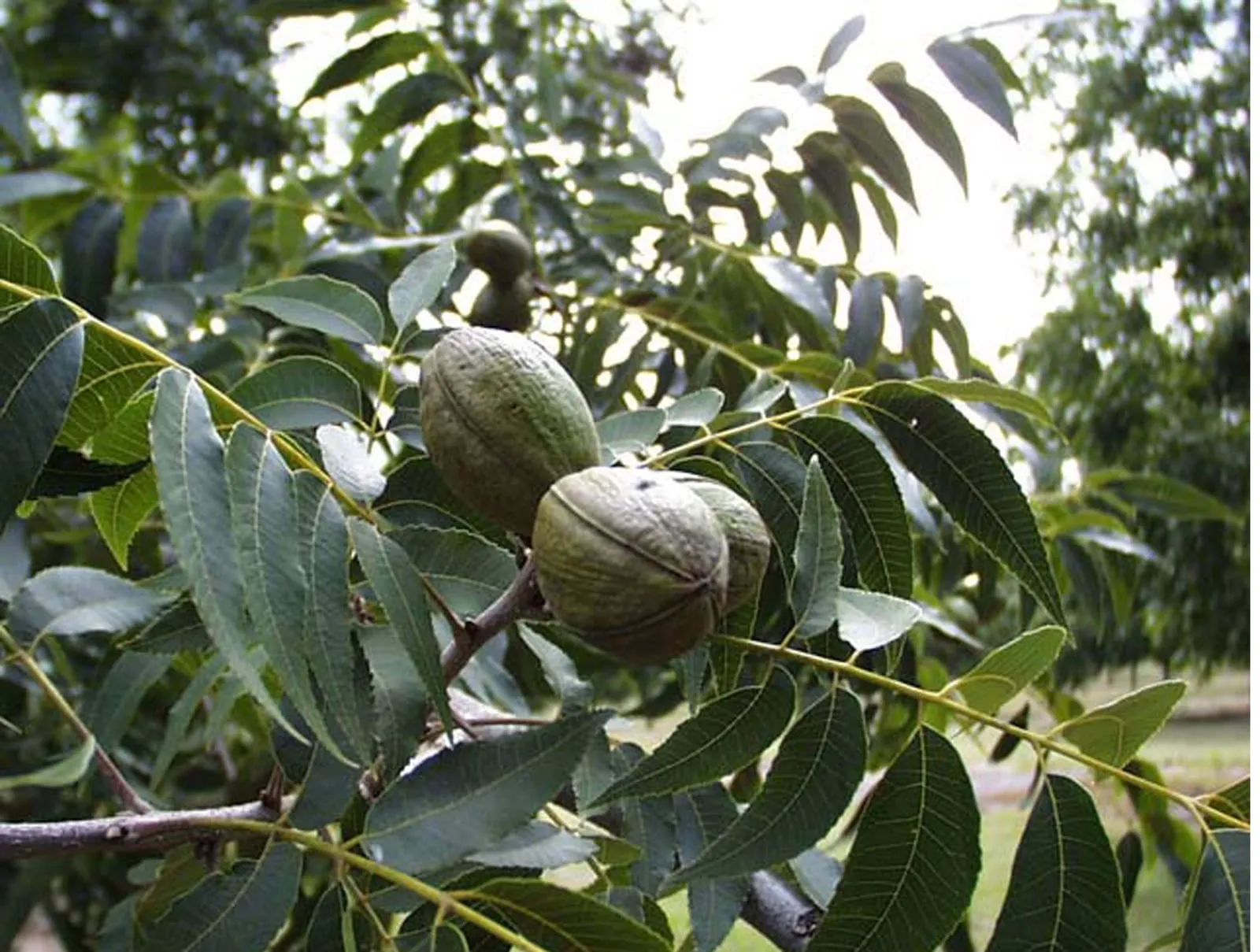
Tree fruit
14 crops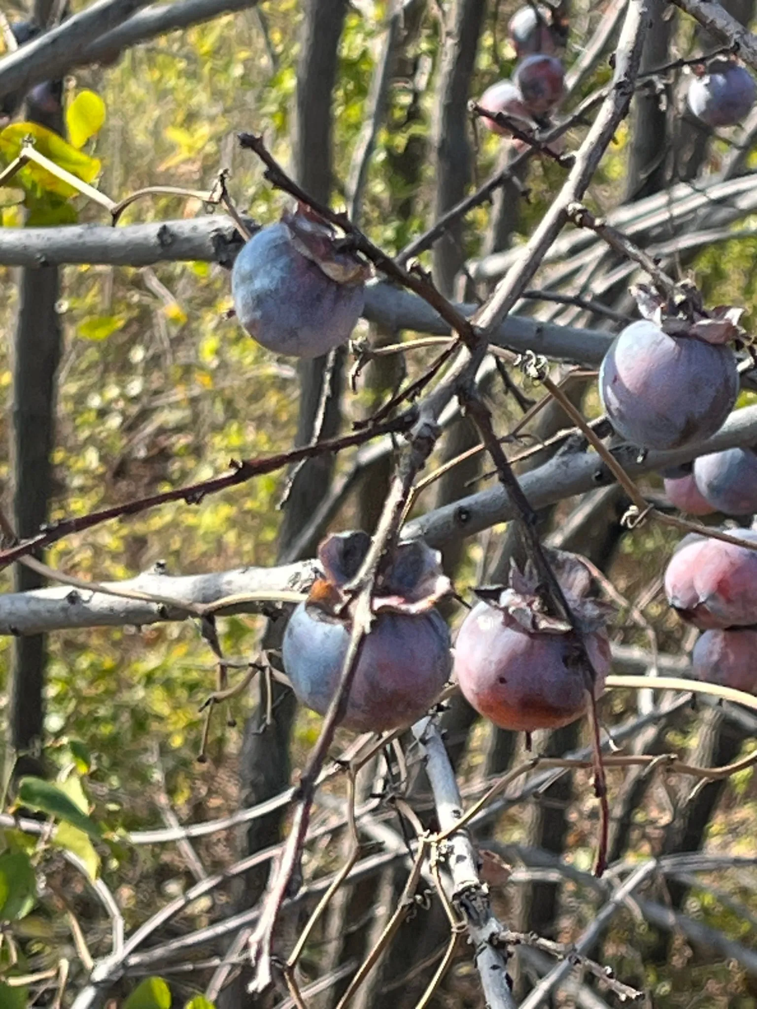
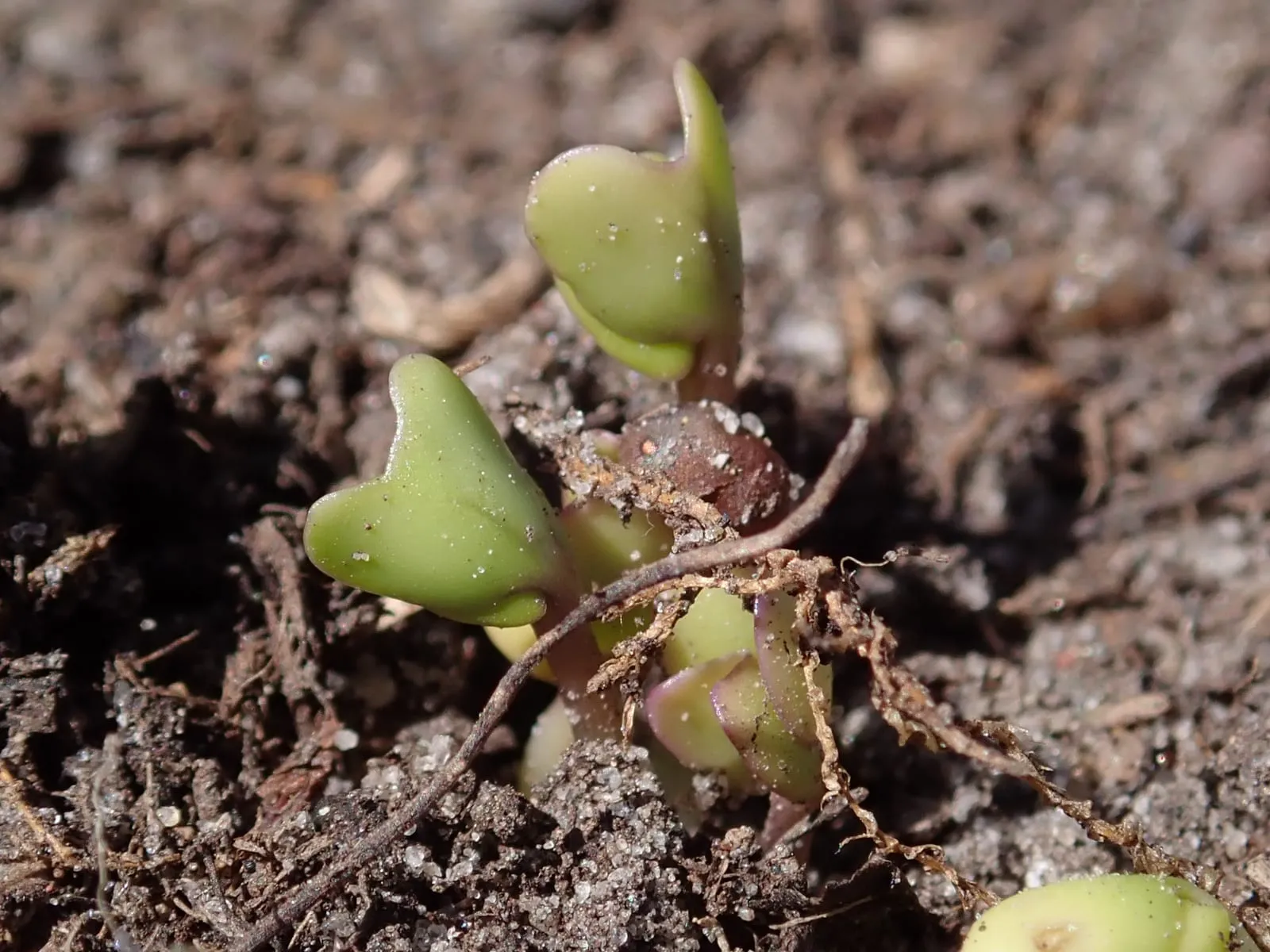
American Persimmon
Diospyros virginiana
zones 4b–9a
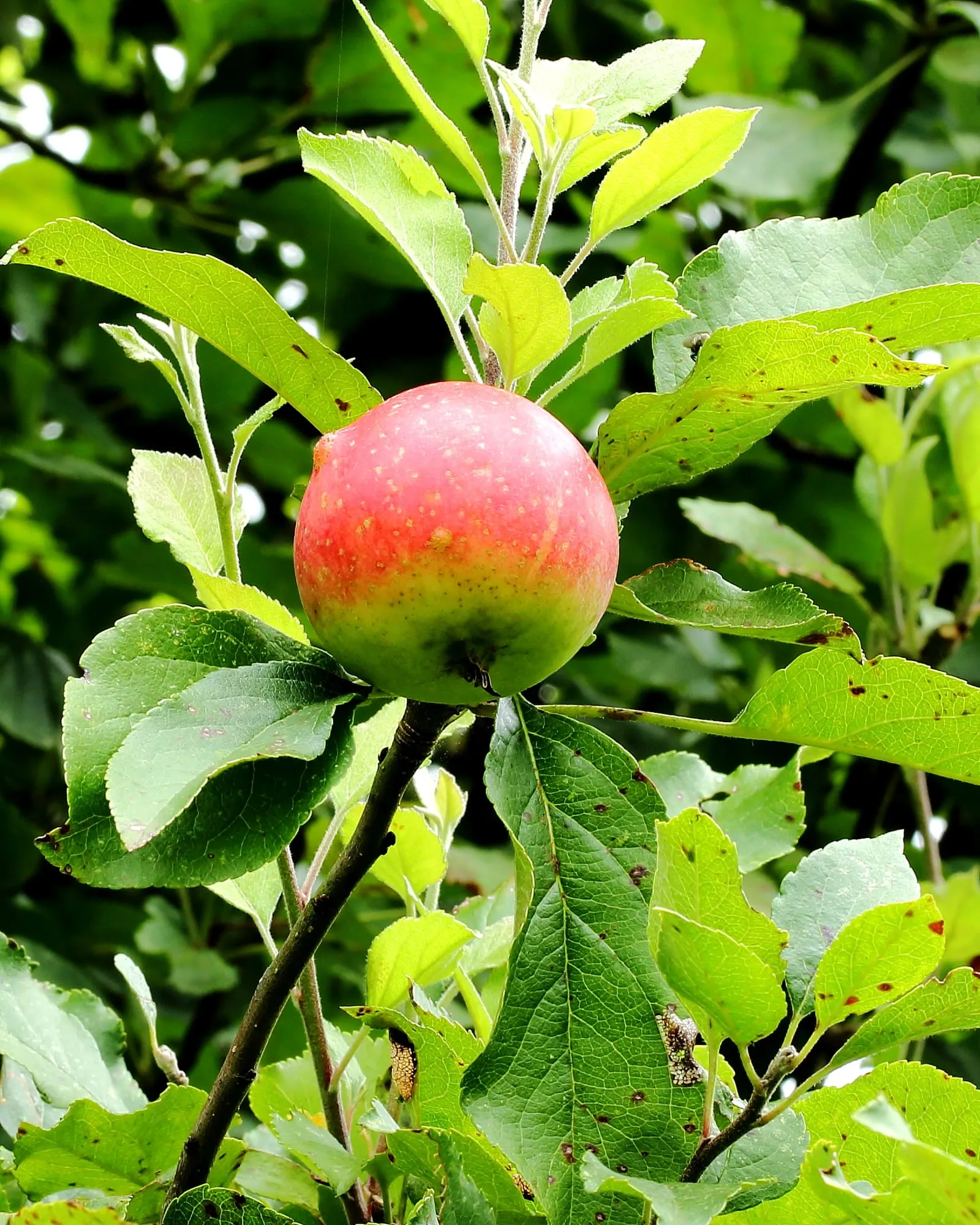
Apple
Malus domestica
zones 3a–9a
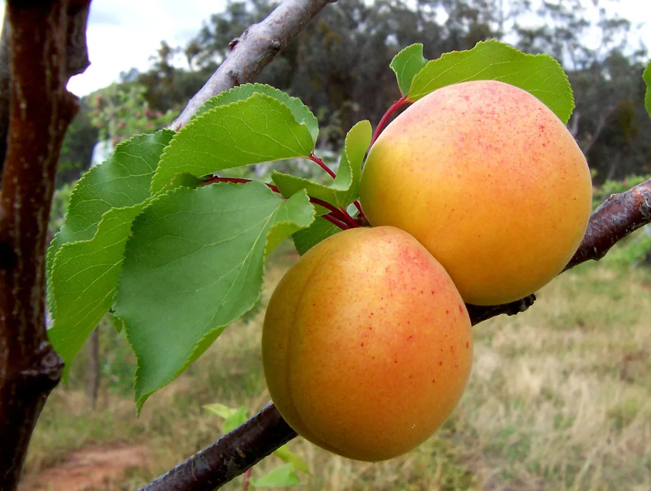
Apricot
Prunus armeniaca
zones 5a–8a
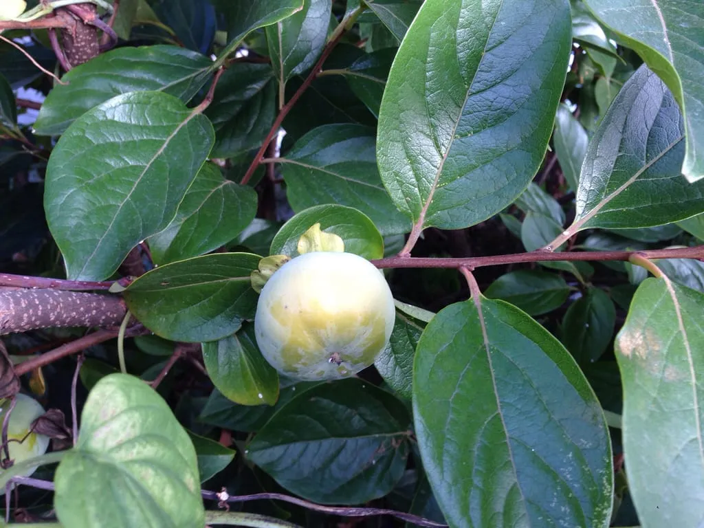
Asian Persimmon
Diospyros kaki
zones 7a–10a
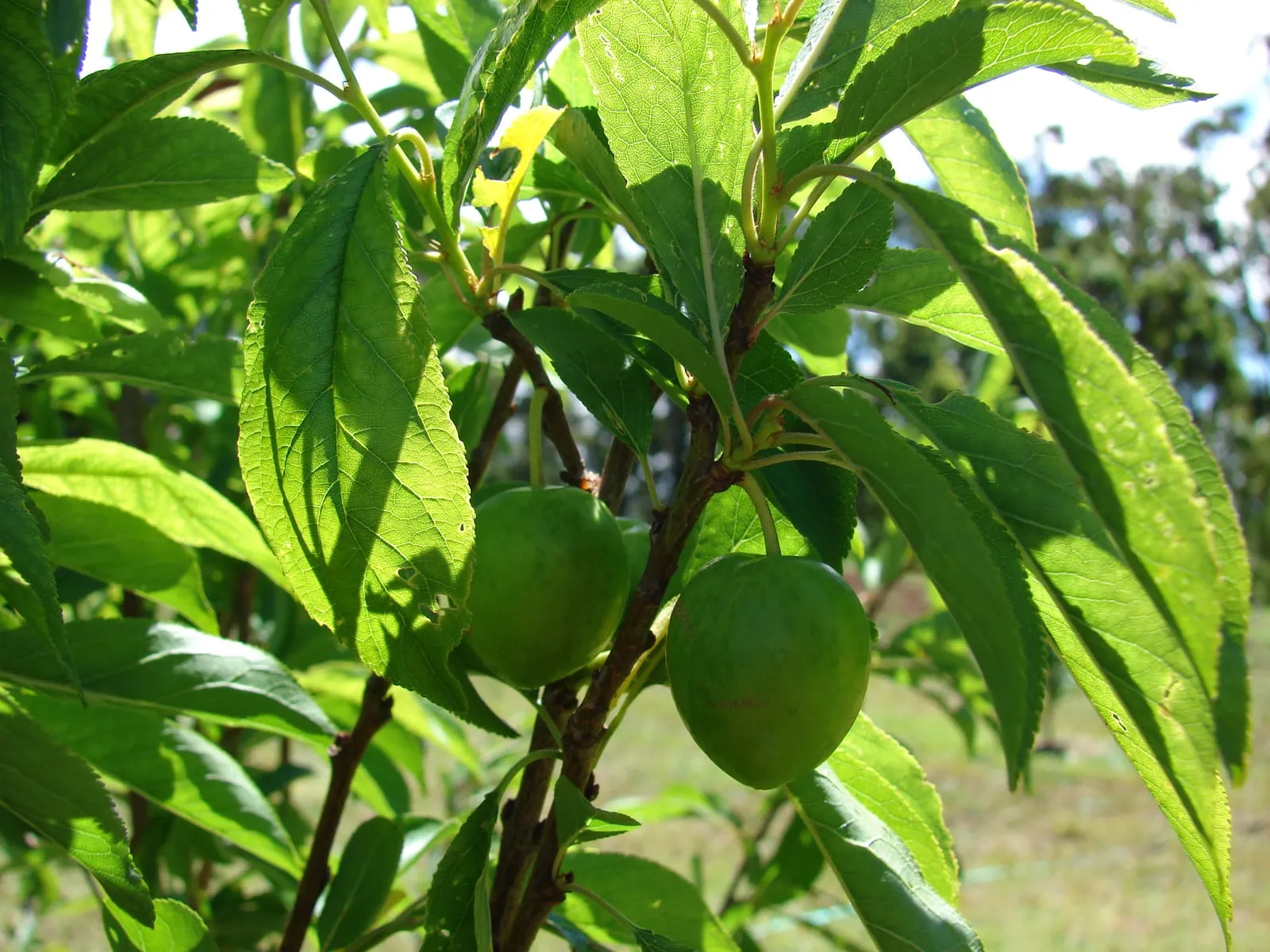
European Plum
Prunus domestica
zones 4a–8a

Fig
Ficus carica
zones 7a–10b
Japanese Plum
Prunus salicina
zones 5b–9a
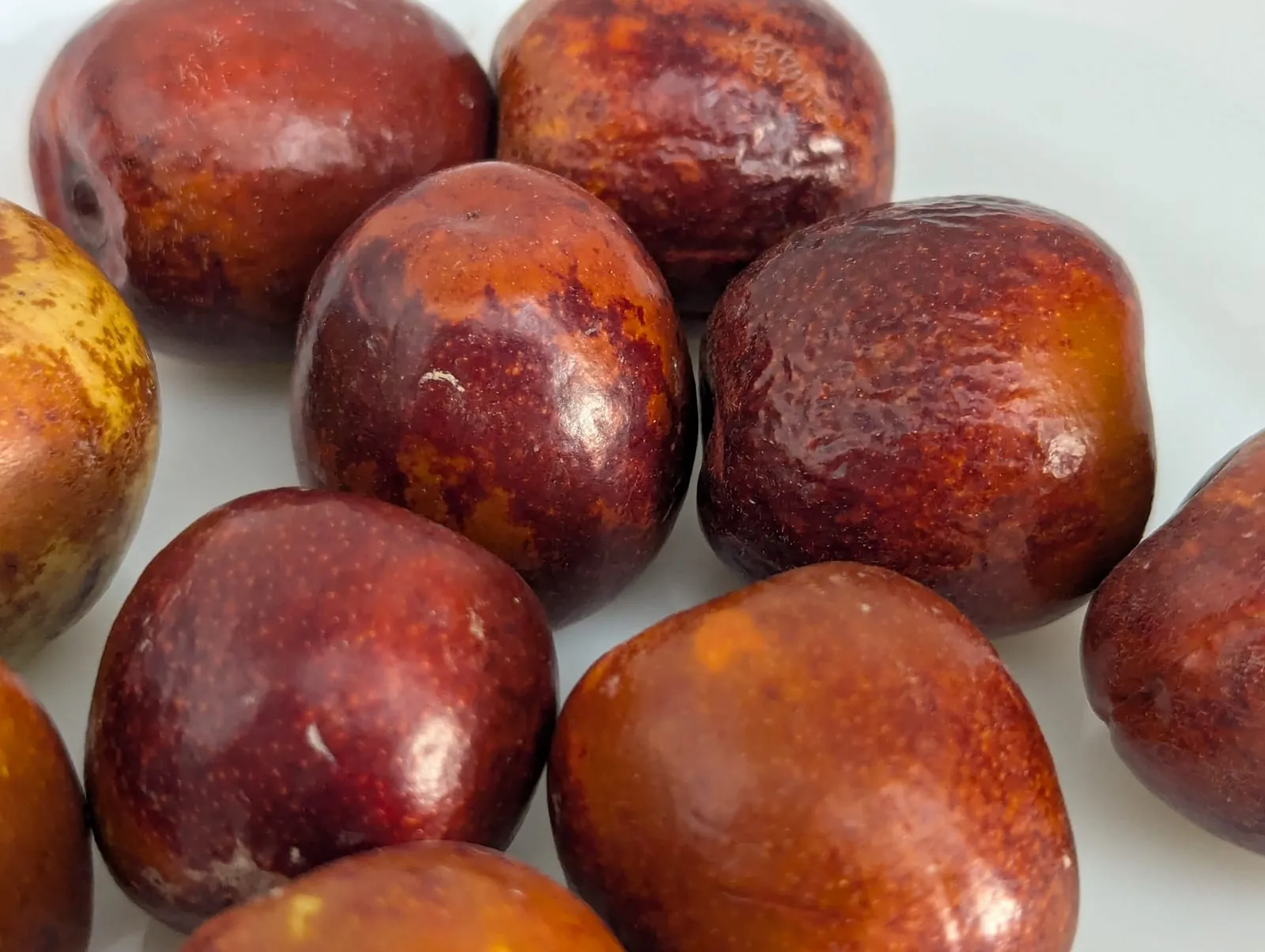
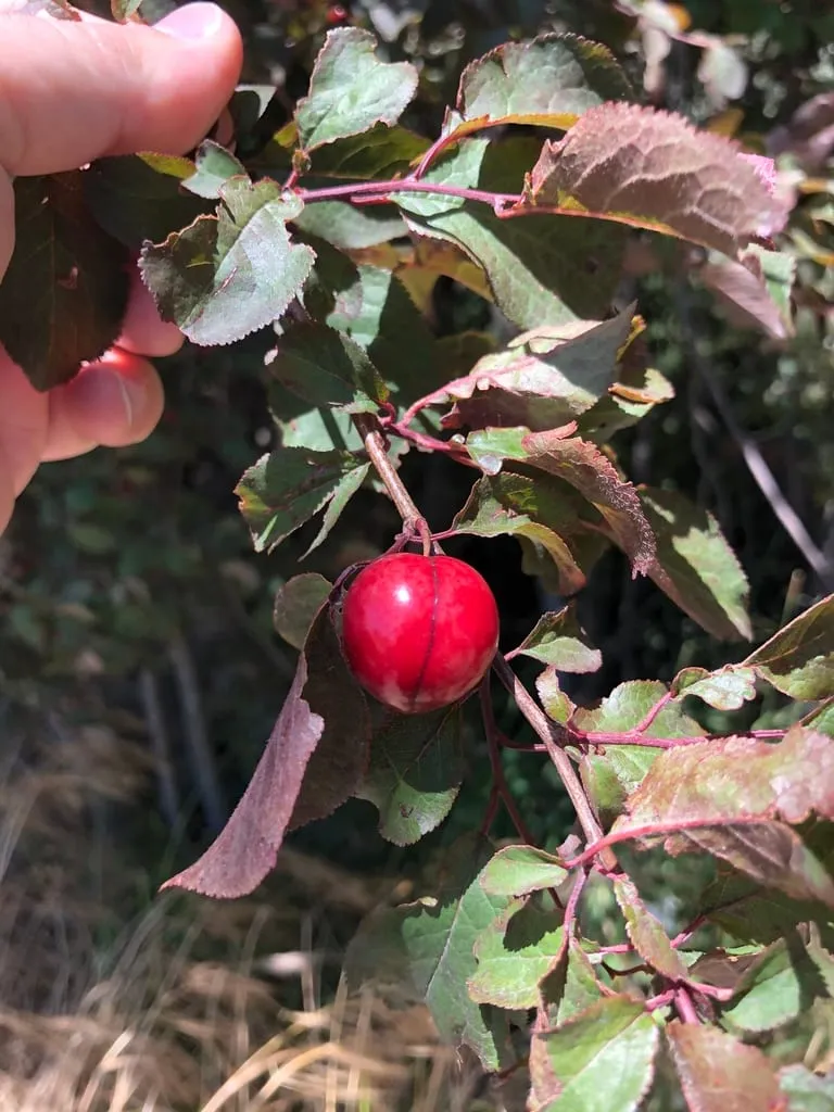
Jujube
Ziziphus jujuba
zones 6a–9b
Berries
21 crops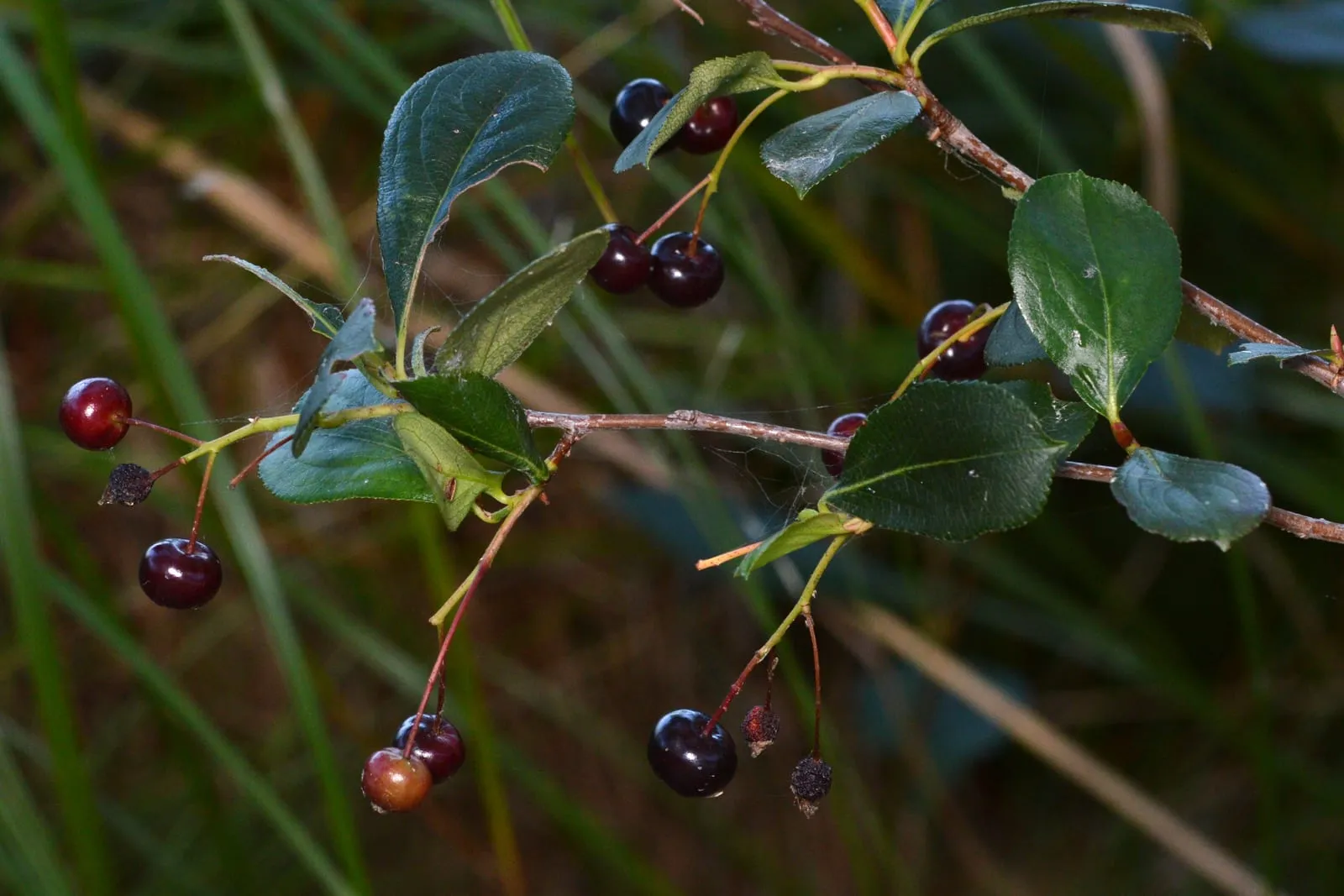
Aronia (Black Chokeberry)
Aronia melanocarpa
zones 3a–8a
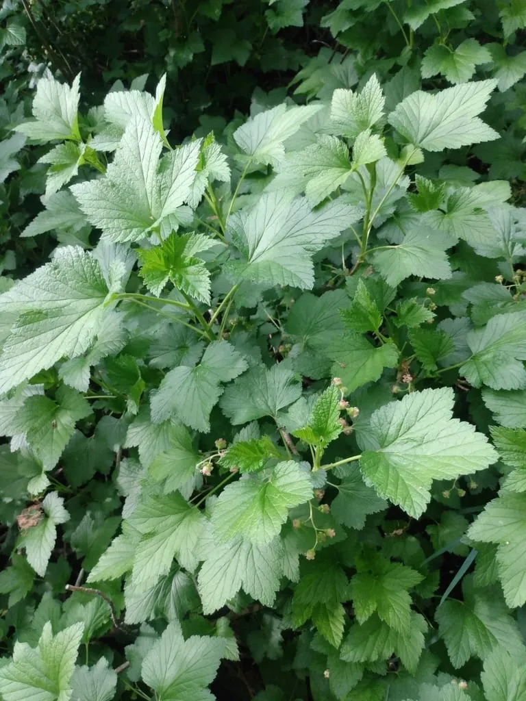
Black Currant
Ribes nigrum
zones 3a–7a
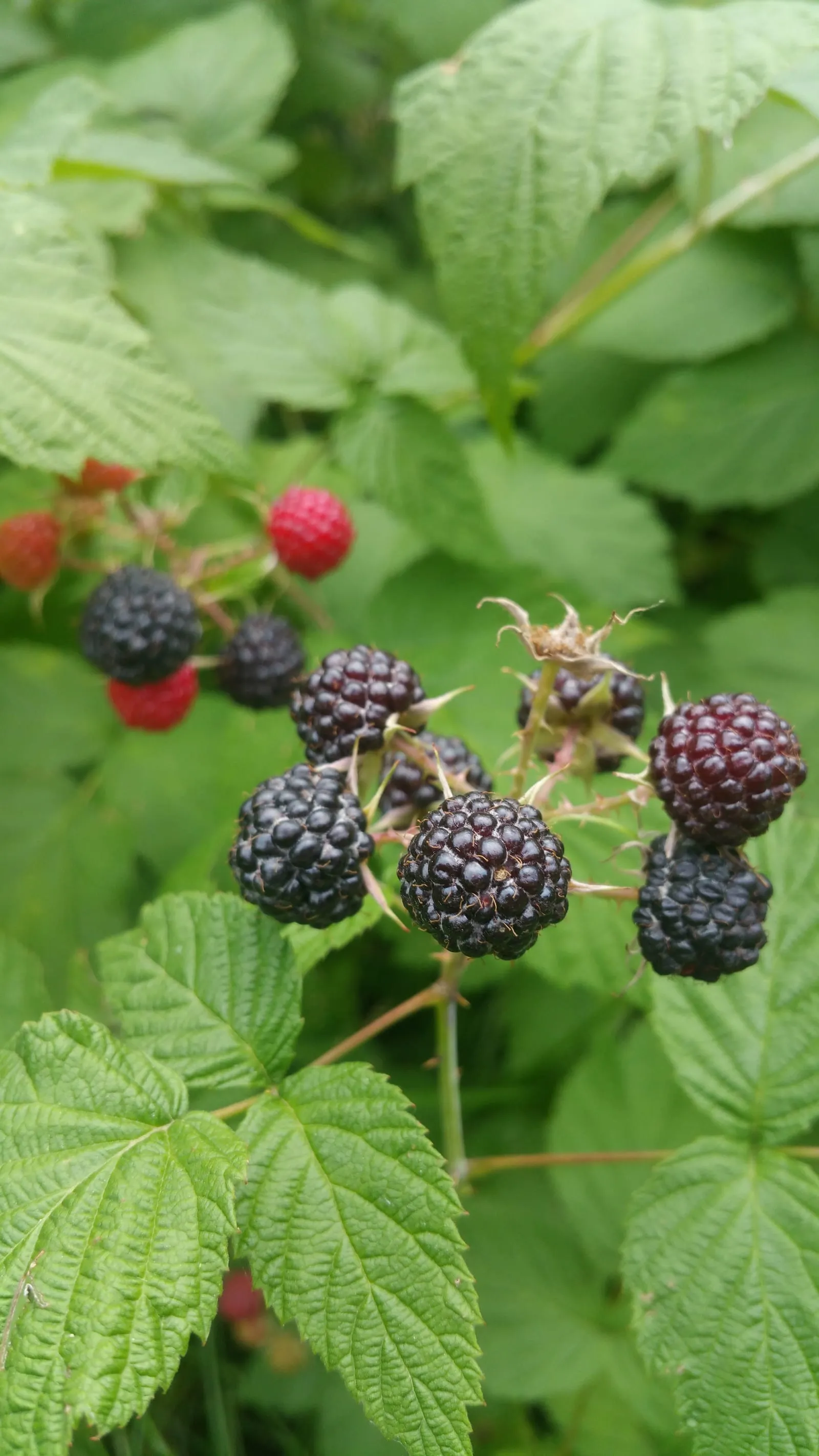
Black Raspberry
Rubus occidentalis
zones 4a–8a
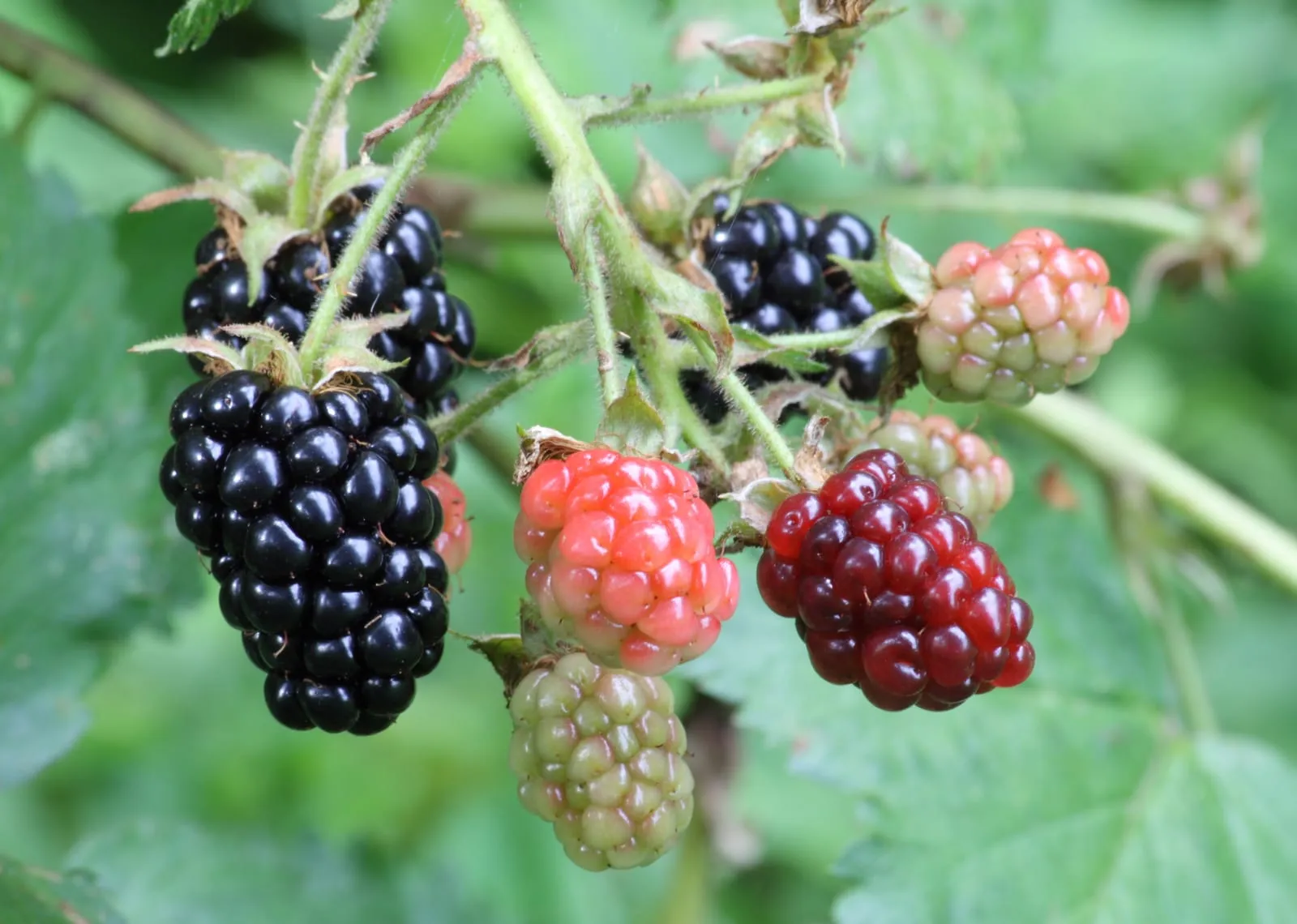
Blackberry
Rubus subgenus Rubus
zones 5a–9a
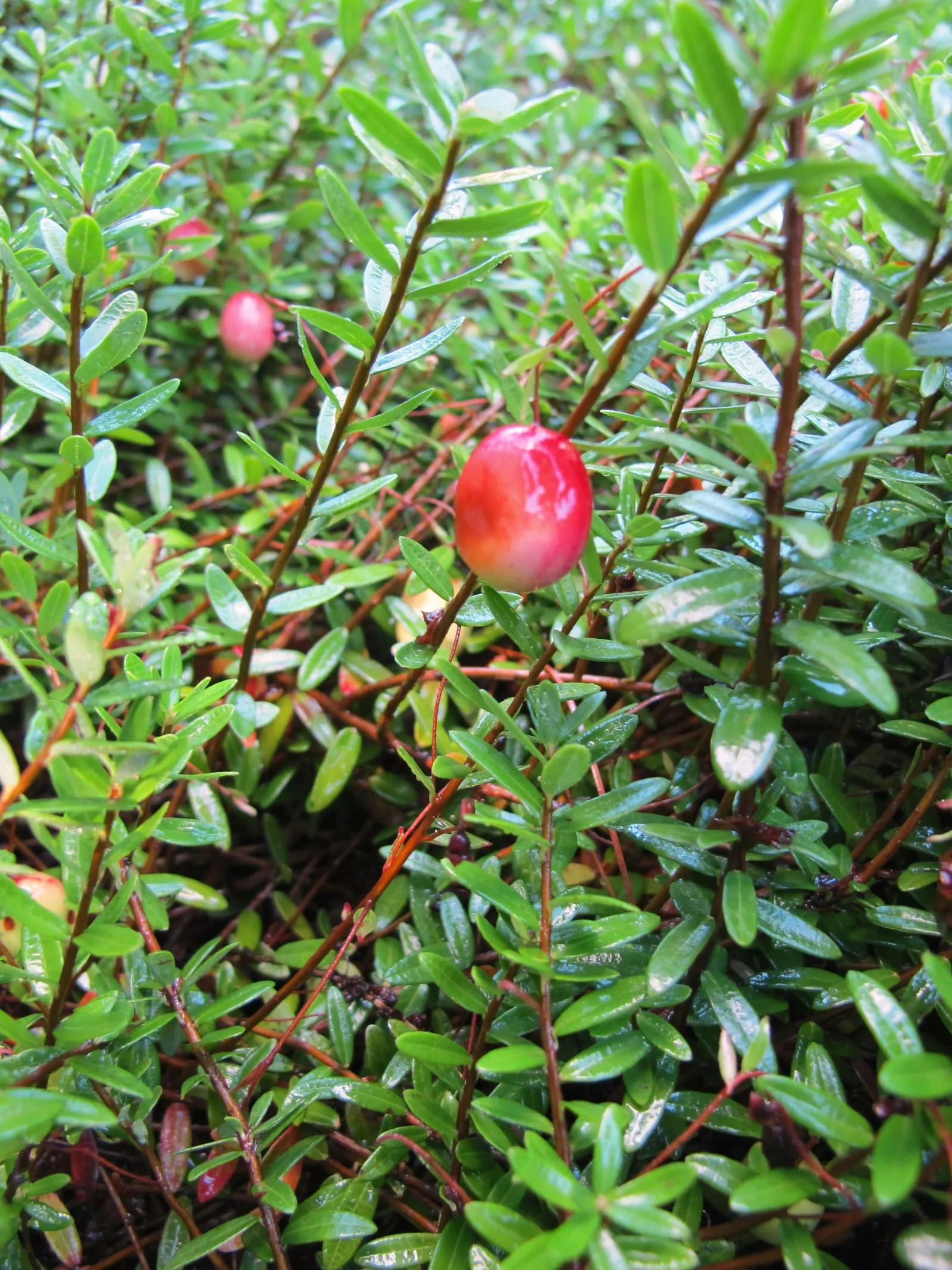
Cranberry
Vaccinium macrocarpon
zones 3a–7a
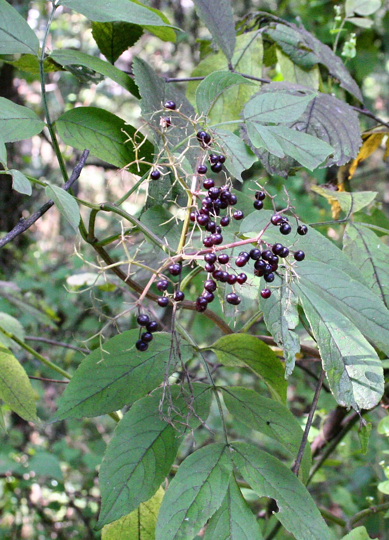
Elderberry
Sambucus canadensis
zones 3b–9a
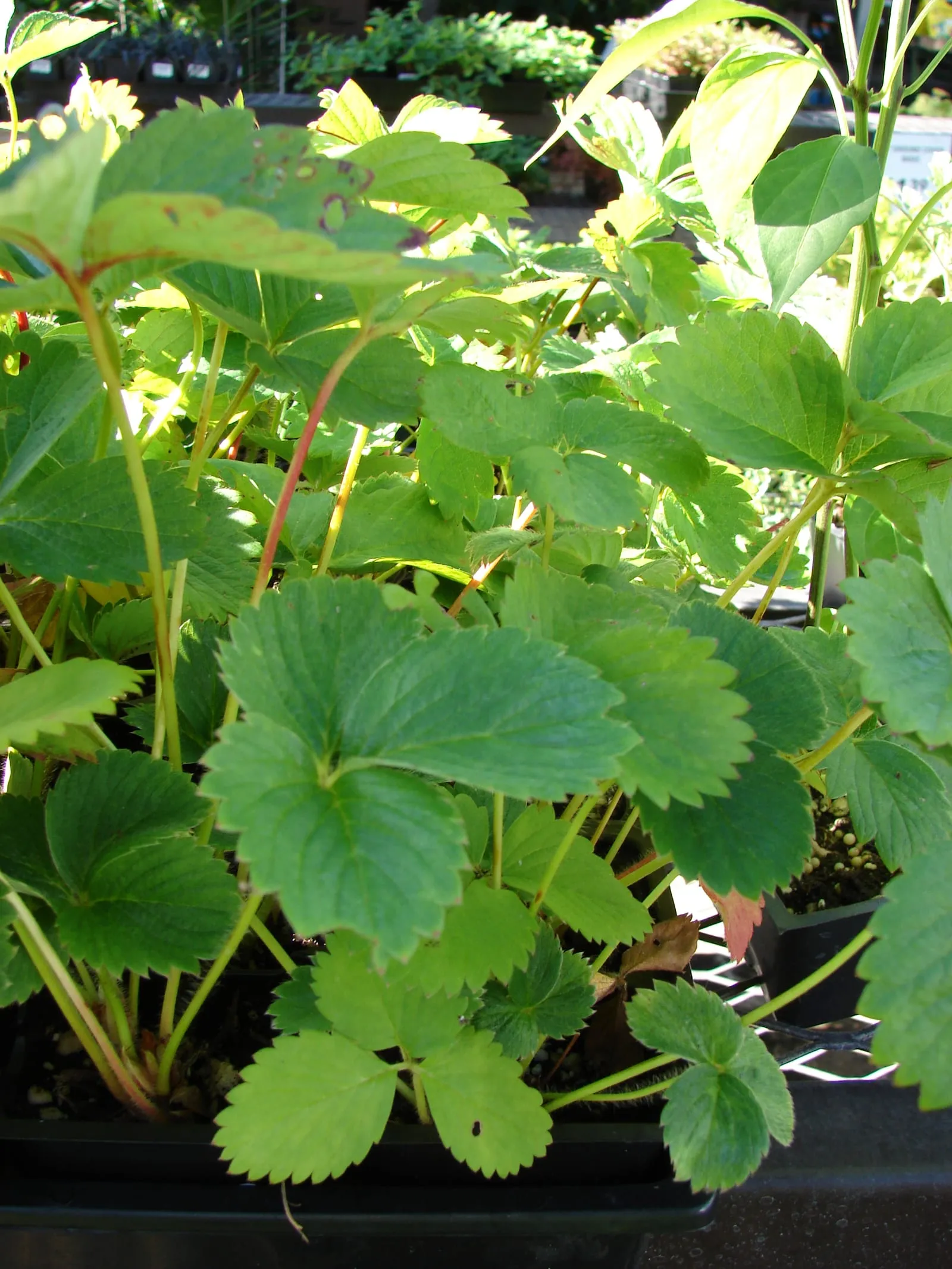
Everbearing Strawberry
Fragaria x ananassa
zones 3b–9a
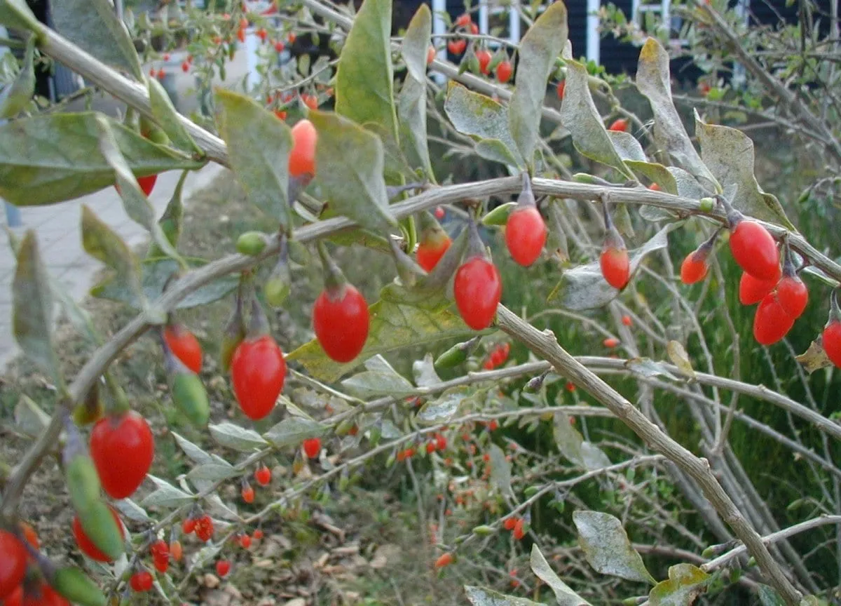
Goji Berry
Lycium barbarum
zones 3b–10a
Nuts
6 crops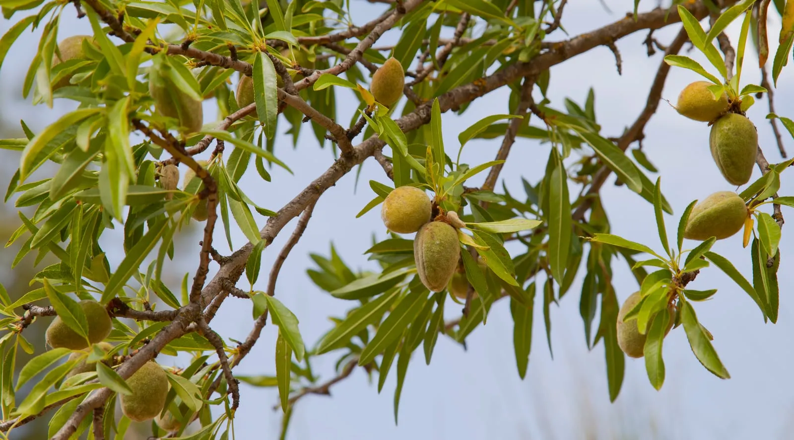
Vegetables
40 crops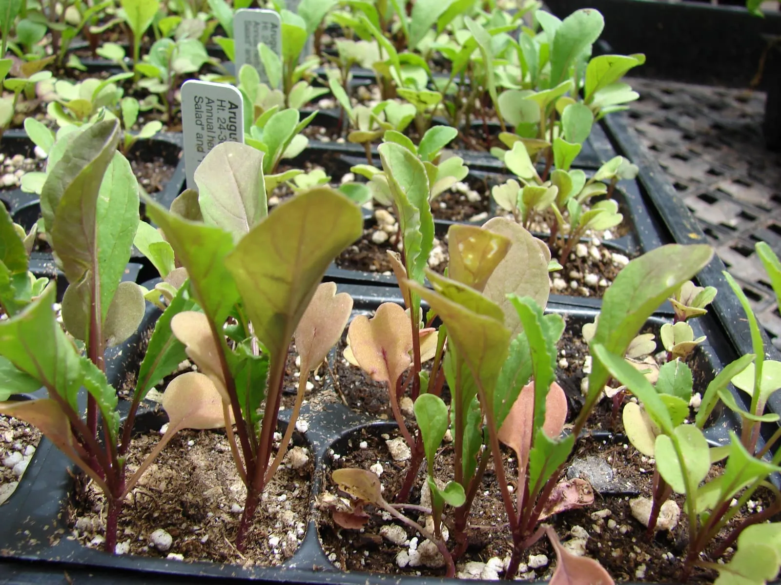
Arugula
Eruca vesicaria
zones 3b–9a
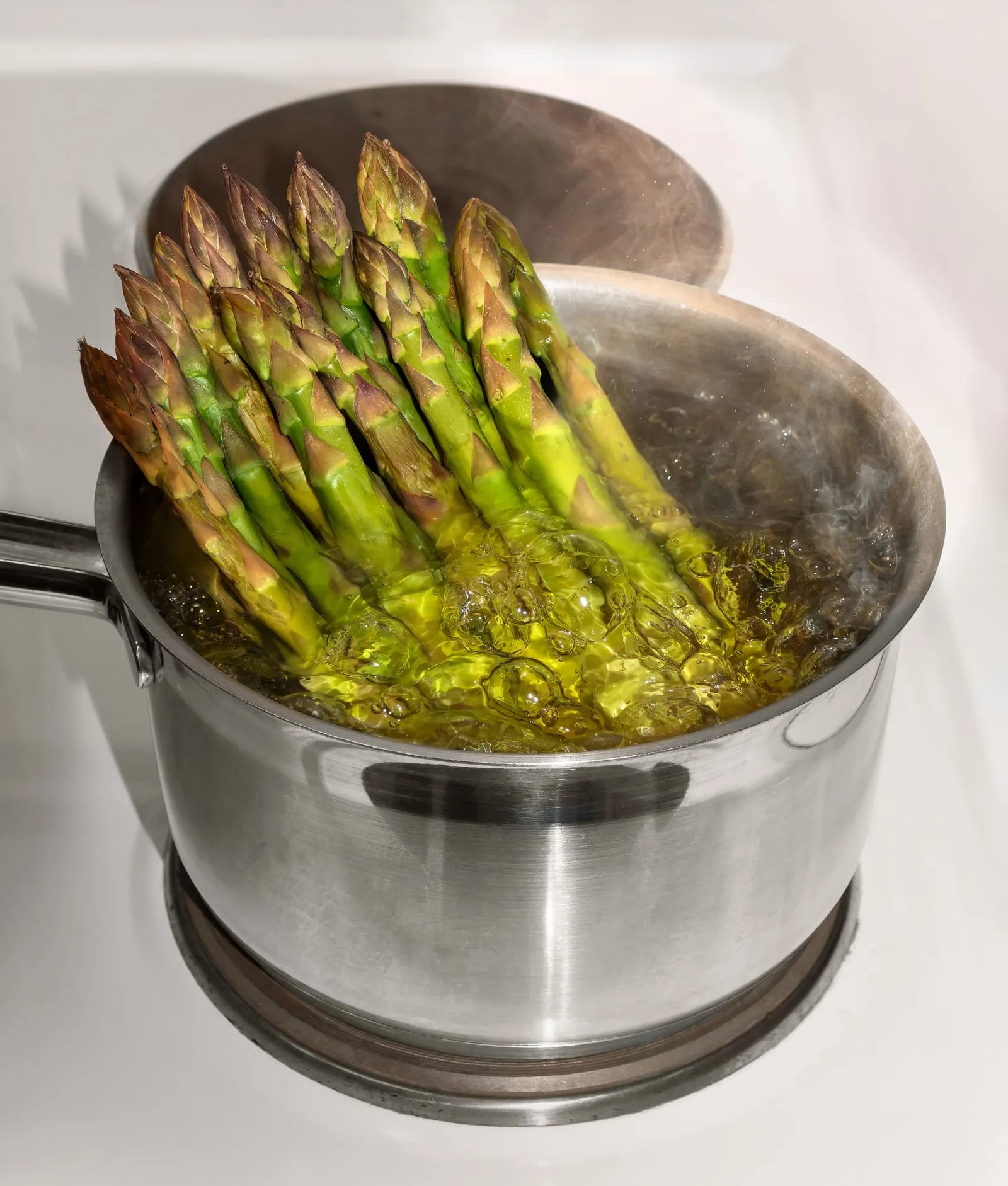
Asparagus
Asparagus officinalis
zones 3b–8b
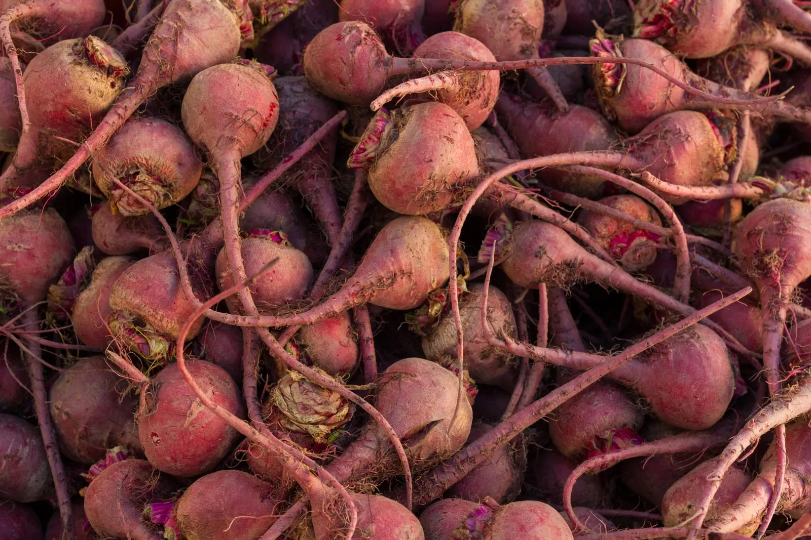
Beet
Beta vulgaris
zones 3a–9a
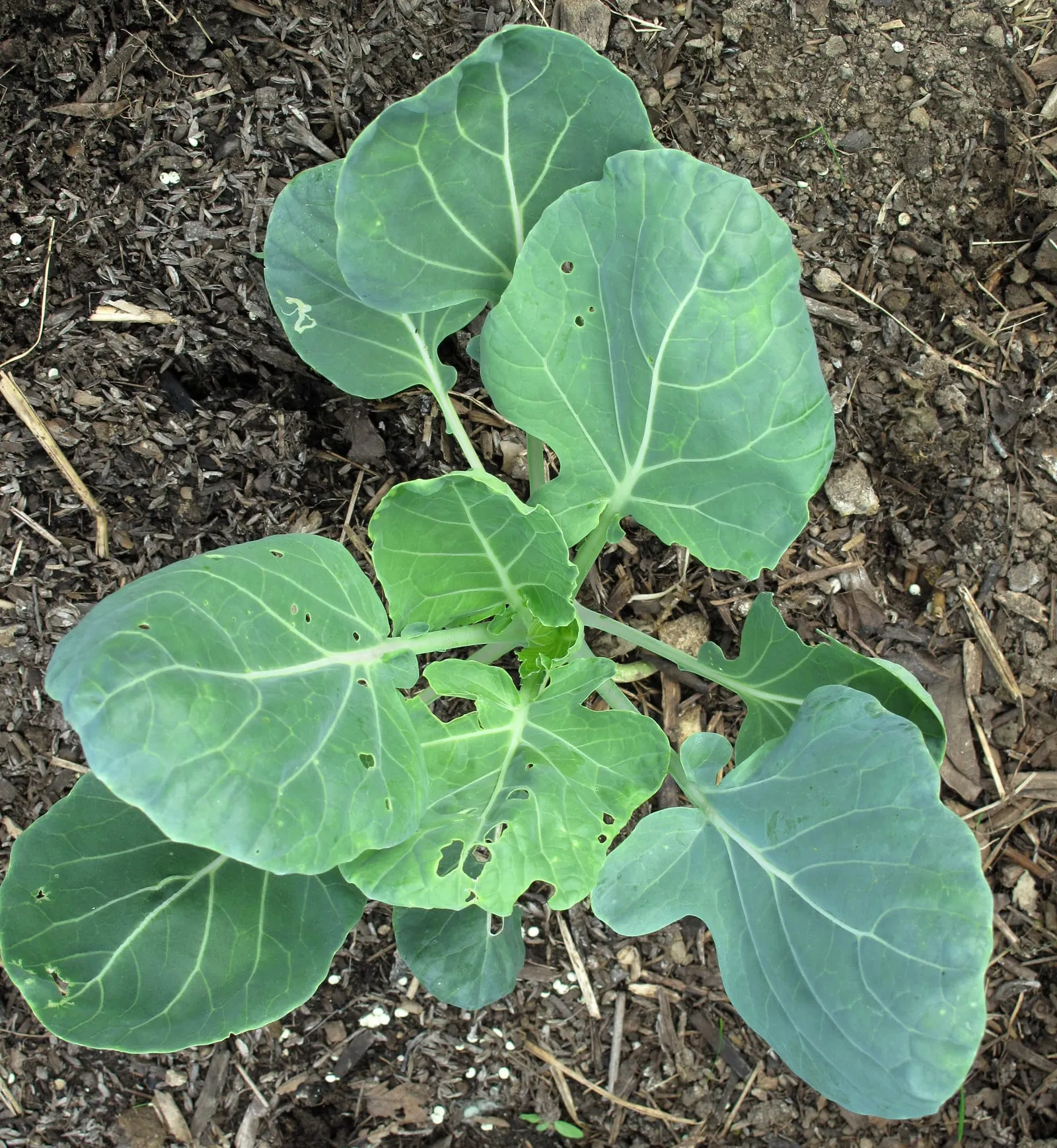
Broccoli
Brassica oleracea var. italica
zones 3a–9a
Brussels Sprouts
Brassica oleracea var. gemmifera
zones 3b–8a
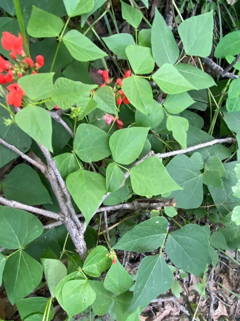
Bush Bean
Phaseolus vulgaris
zones 3b–9a
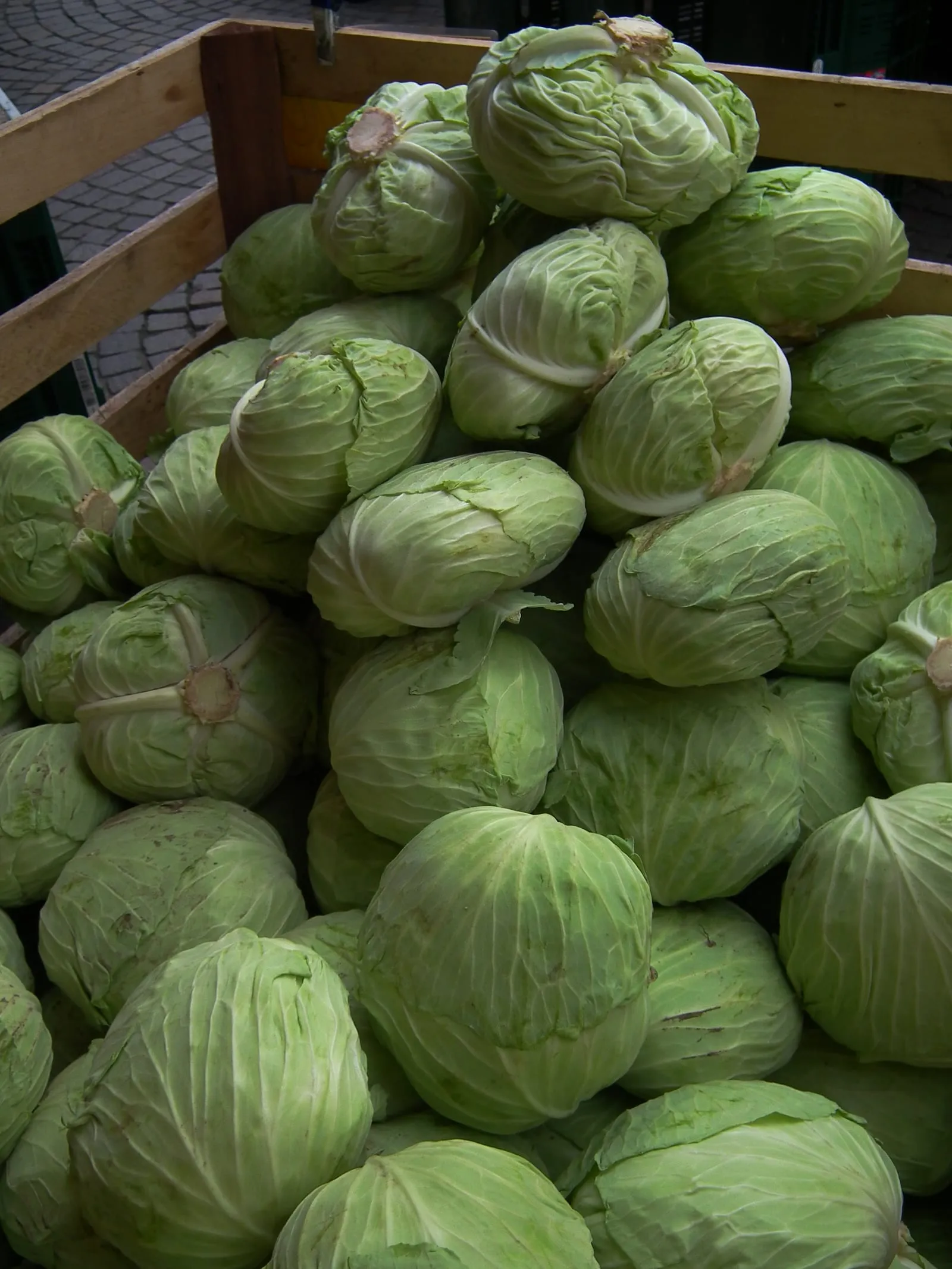
Cabbage
Brassica oleracea var. capitata
zones 3a–9b
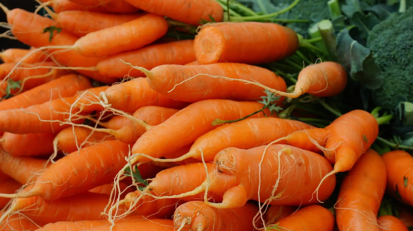
Carrot
Daucus carota subsp. sativus
zones 3a–9a
Herbs
10 crops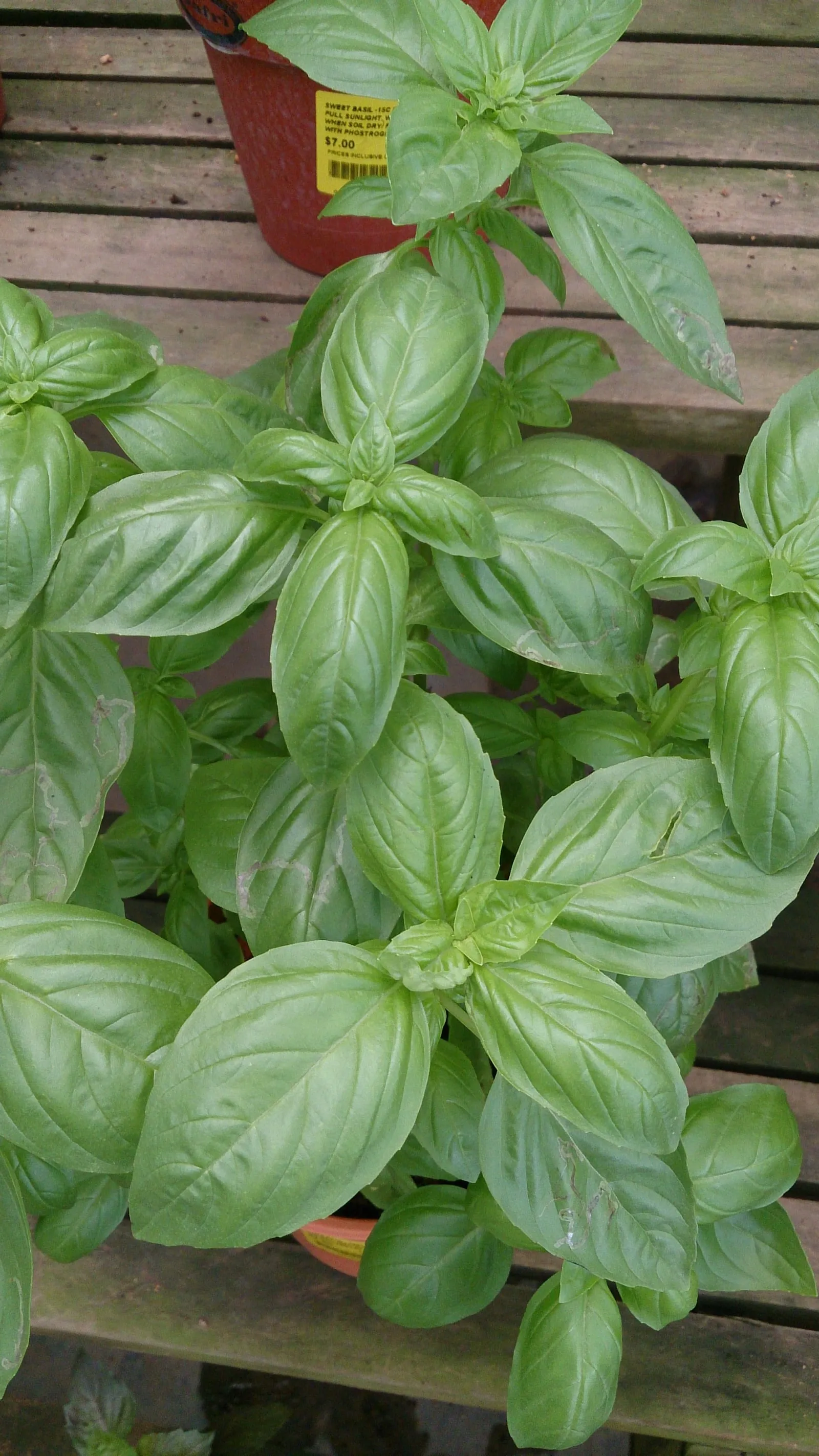
Basil
Ocimum basilicum
zones 4a–10b
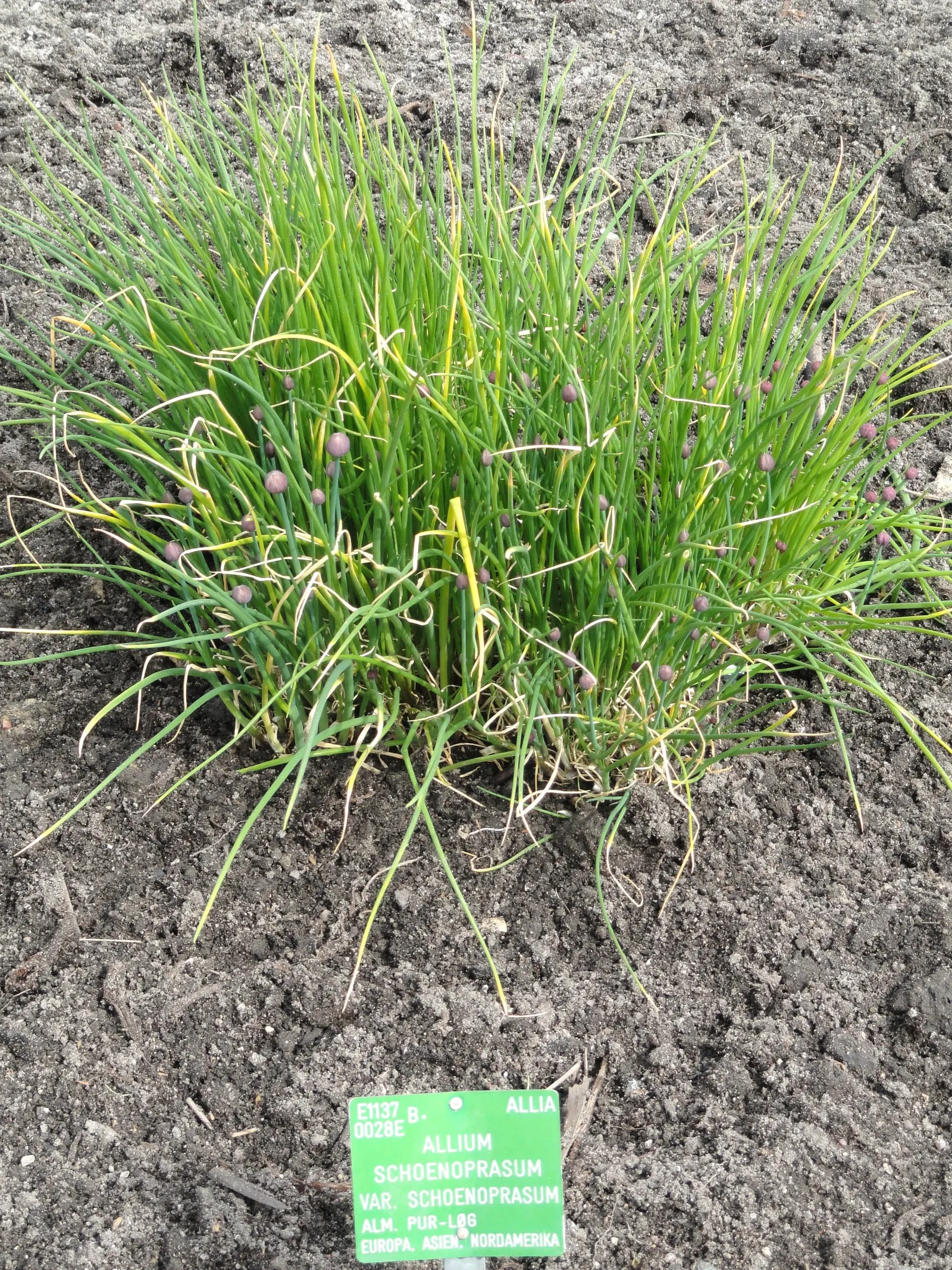
Chives
Allium schoenoprasum
zones 3a–8b
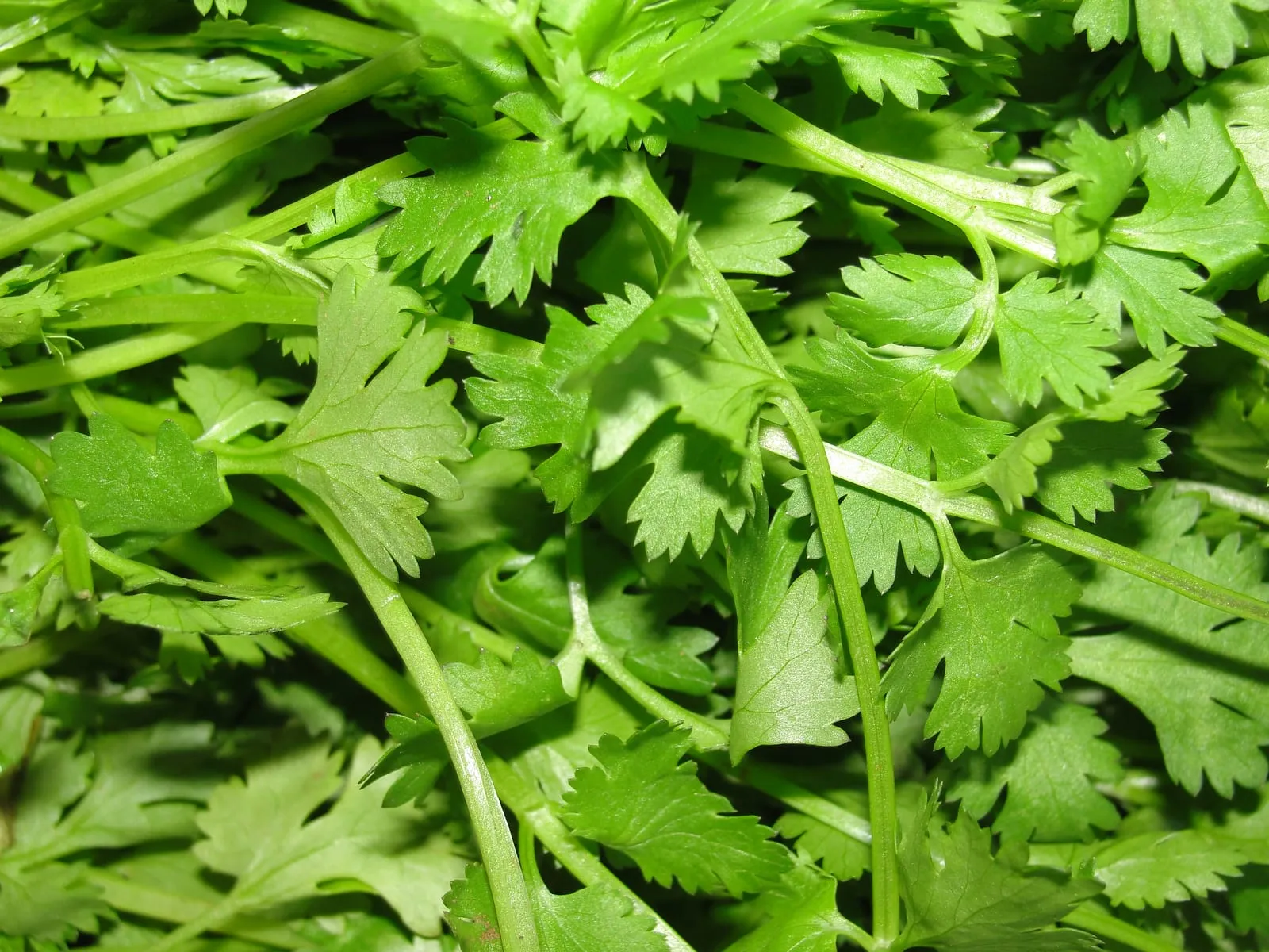
Cilantro / Coriander
Coriandrum sativum
zones 3b–9b
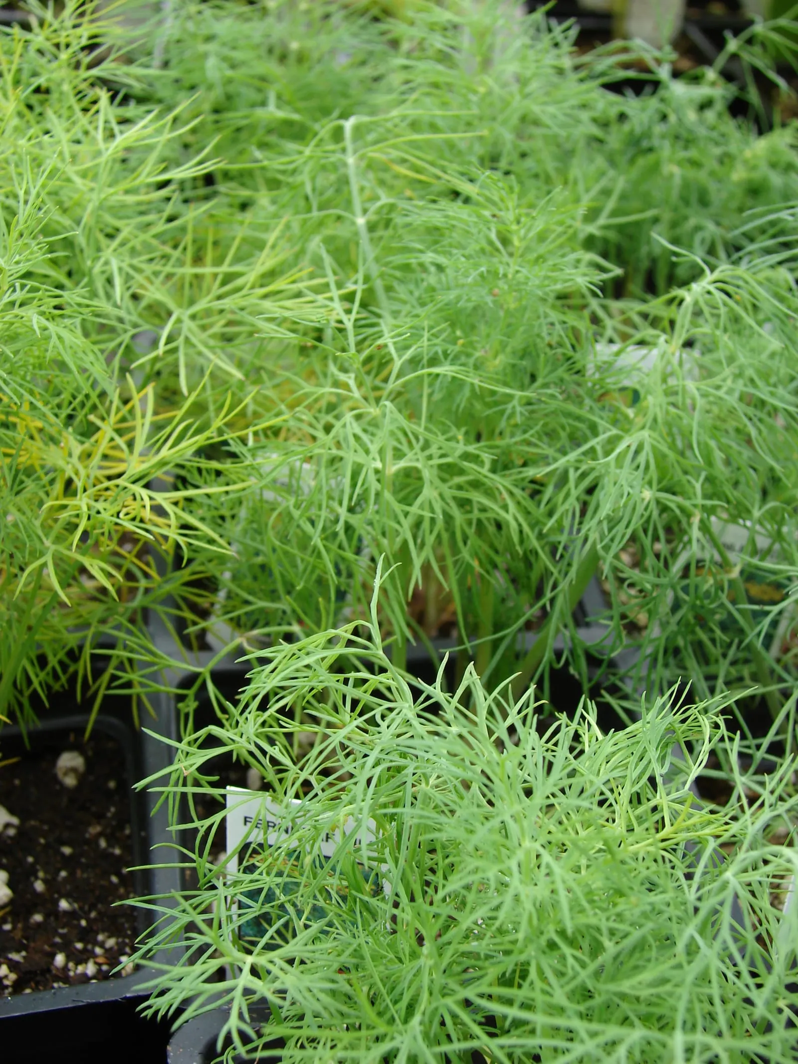
Dill
Anethum graveolens
zones 3b–9a
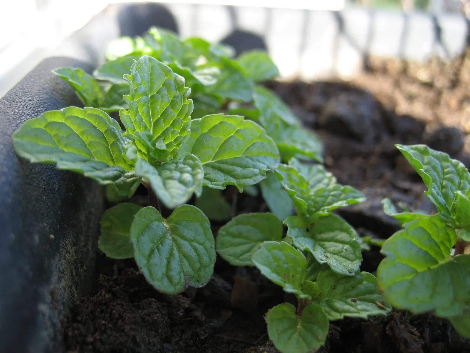
Mint
Mentha species
zones 3b–9b
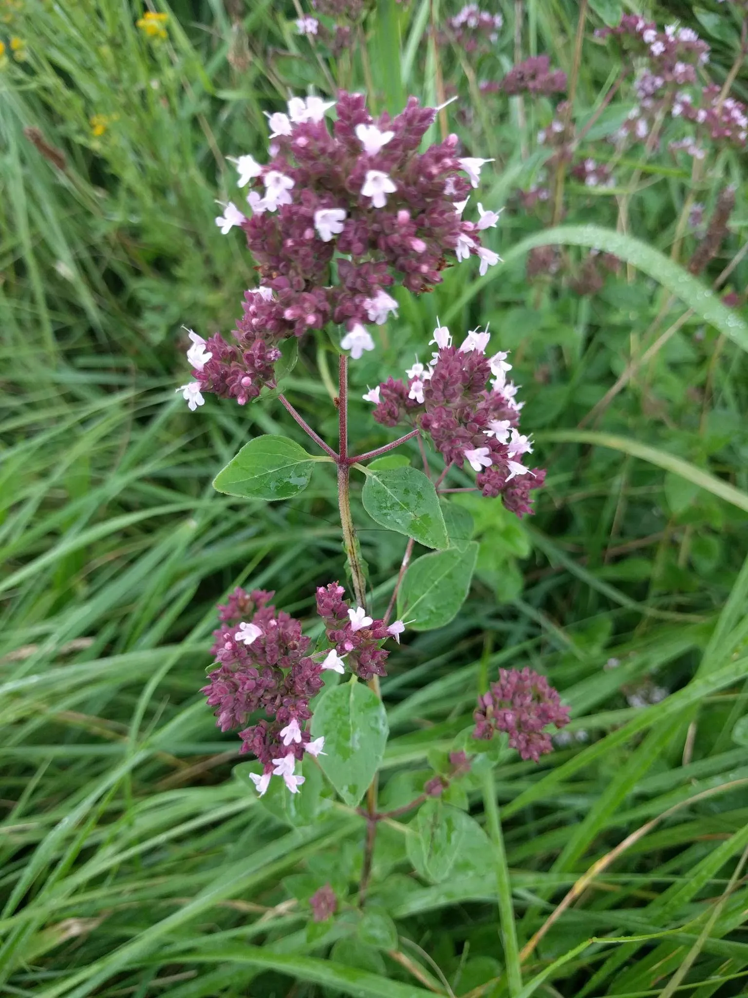
Oregano
Origanum vulgare
zones 4a–9b
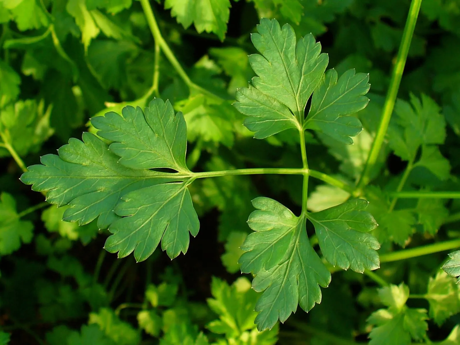
Parsley
Petroselinum crispum
zones 3b–9b
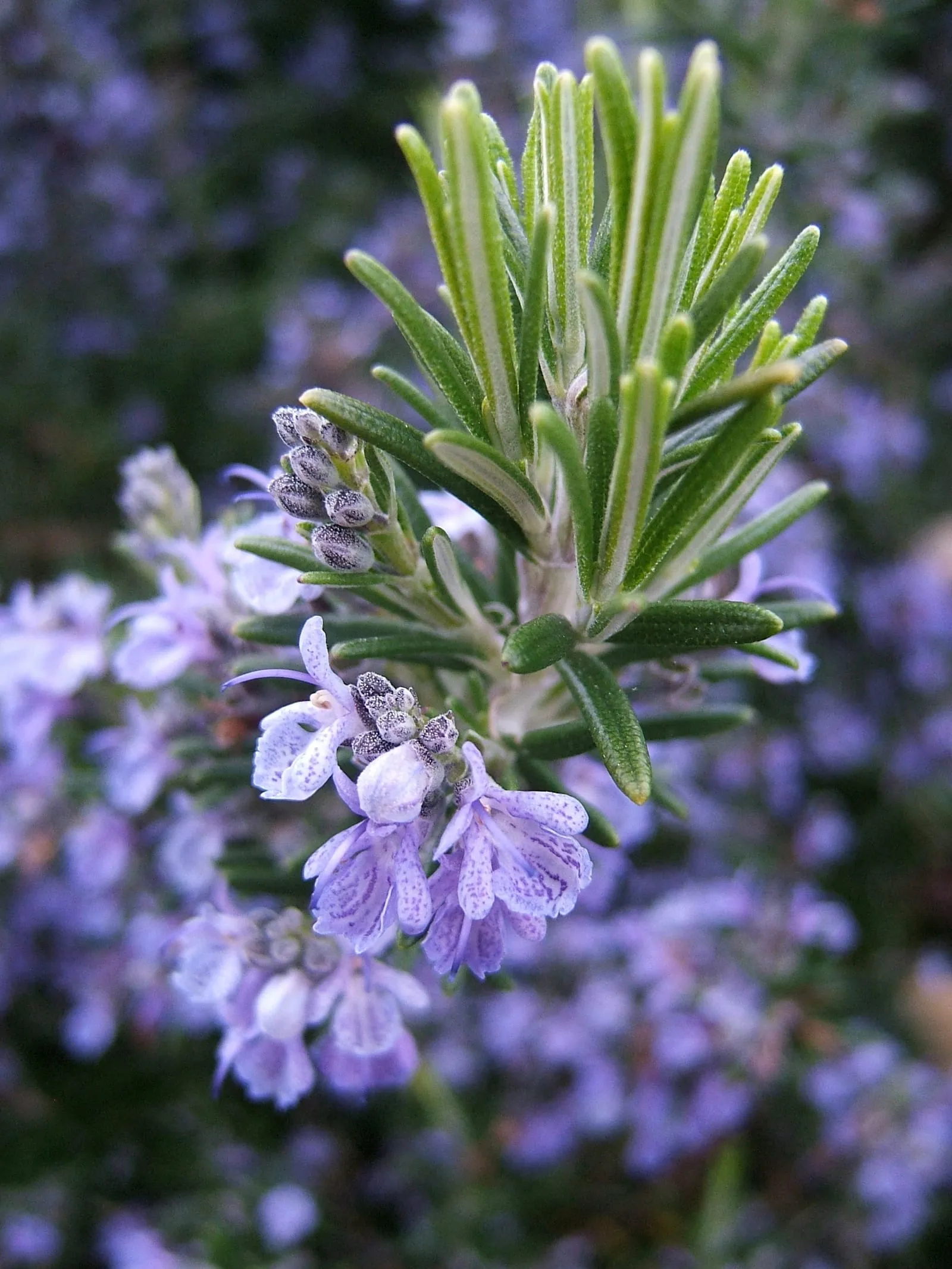
Rosemary
Salvia rosmarinus
zones 7a–10b
Largest cities in Ohio
Cities ranked by population (GeoNames public-domain data). Each city has a curated planting reference with its USDA zone, frost dates, and recommended crops.
Curated zip pages in Ohio
Related